
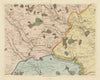

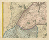

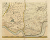

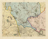

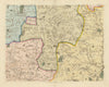

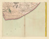

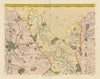

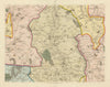

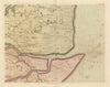

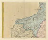



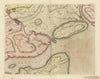


Essex before large-scale suburban and industrial growth is laid out in A map of the county of Essex, the survey John Chapman and Peter André published in 1777 after fieldwork between 1772 and 1774. Its sectional sheets let local roads, waterways, estates and settlements be followed from the north-western villages near Saffron Walden to the coastal marshes around Maldon and the Thames, and a plan of Colchester and harbour mapping around Harwich give the main town and port their own attention. Title-page and subscriber sheets record the publication itself. As a single coordinated survey, it is ideal for locating a parish or property in the eighteenth-century countryside.
EU orders up to €150 are sent VAT- and duty-paid — no additional taxes on arrival
Authenticity Guaranteed - We only sell original antique & vintage items
Can we help? Call us on +44-208-960-3476 • FAQs
All our products are exempt from US tariffs — no additional duties or taxes payable on arrival.


- Shop by Country
- Shop by Cartographer
- Shop Maps by Type
- Shop Prints by Subject