
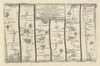

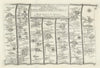

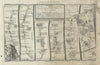


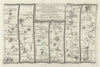

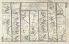


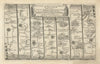


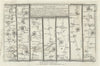

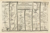


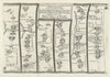

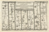

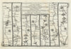

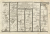

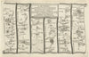


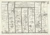

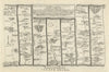

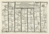


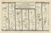


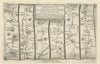


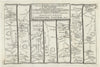

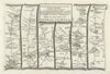


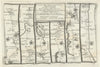


Maps from A Pocket-Guide to the English Traveller unroll the roads of England and Wales in narrow strips, town by town, as the traveller of 1719 met them. Thomas Gardner's guide was published in London that year for Jacob Tonson and John Watts. Roads from London run towards Oxford, Harwich, Brighton and the West Country, and others link northern towns or reach the Welsh coast, with sections on Carlisle, Berwick, Aberystwyth, St David's and Cardiff. Rivers, junctions and settlements mark the way along each strip, showing what the road passed rather than the county around it, long before railways redrew Britain's routes.
EU orders up to €150 are sent VAT- and duty-paid — no additional taxes on arrival
Authenticity Guaranteed - We only sell original antique & vintage items
Can we help? Call us on +44-208-960-3476 • FAQs
All our products are exempt from US tariffs — no additional duties or taxes payable on arrival.


- Shop by Country
- Shop by Cartographer
- Shop Maps by Type
- Shop Prints by Subject