


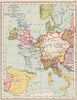


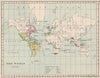


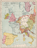


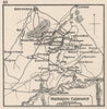

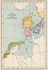


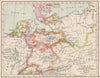


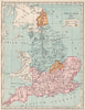


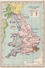

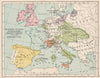

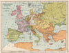

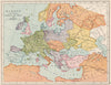


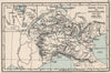
From early medieval kingdoms to overseas possessions, maps from A School Atlas of English History trace England's changing place in the world. Samuel Rawson Gardiner edited the atlas, here in Longmans, Green & Co.'s issue of 1907. Pre-Conquest earldoms lead on to later counties and parliamentary geography, Scotland and Ireland have their own historical maps, and French and European sheets explain dynastic claims, alliances and continental campaigns. Small battle plans show Crécy, Poitiers, Dunbar, Waterloo and other engagements, maps of India, North America and European exploration reach overseas, and industrial sheets map coalfields, manufactures and resources.
EU orders up to €150 are sent VAT- and duty-paid — no additional taxes on arrival
Authenticity Guaranteed - We only sell original antique & vintage items
Can we help? Call us on +44-208-960-3476 • FAQs
All our products are exempt from US tariffs — no additional duties or taxes payable on arrival.


- Shop by Country
- Shop by Cartographer
- Shop Maps by Type
- Shop Prints by Subject