
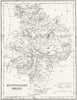

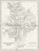

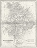

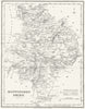

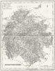

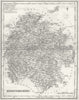

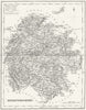

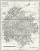

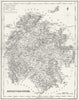

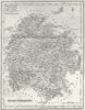

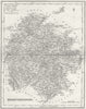

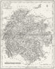

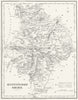

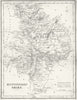

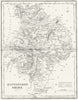

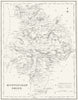

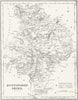

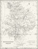

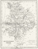

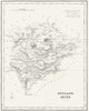
Huntingdonshire, Herefordshire and Rutland are the counties in these early Victorian maps from Archd. Fullarton & Co. of Glasgow, dated 1844 to 1845. The collection is defined by the Scottish imprint rather than by a single volume. Huntingdonshire, still a separate county, centres on the Great Ouse; Herefordshire lies on the Welsh border along the Wye; and Rutland, under its alternative name Rutlandshire, is a compact Midlands county. Together they show how a Glasgow publisher mapped English counties for a readership well beyond Scotland.
EU orders up to €150 are sent VAT- and duty-paid — no additional taxes on arrival
Authenticity Guaranteed - We only sell original antique & vintage items
Can we help? Call us on +44-208-960-3476 • FAQs
All our products are exempt from US tariffs — no additional duties or taxes payable on arrival.


- Shop by Country
- Shop by Cartographer
- Shop Maps by Type
- Shop Prints by Subject