
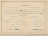

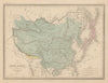

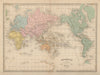

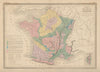

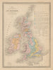

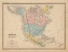

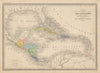

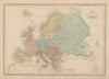

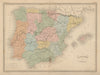

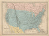

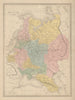

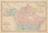

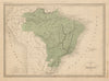

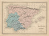

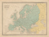


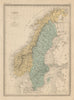

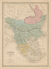


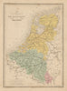


Ancient empires, geological sections and modern states share the pages of the Atlas de la Géographie Universelle. These are mid-nineteenth-century sheets in the Malte-Brun tradition, in an edition credited to J. J. N. Huot and published by Garnier Frères in Paris, dated from the 1860s into the early 1870s. Classical maps of Gaul, Egypt and Asia Minor sit beside contemporary countries, physical and mineralogical sheets describe Europe in another way, and geological sections across France and England show what lies beneath the surface. Russian America, the partitions of Poland and the changing German territories reflect several historical moments, so the atlas is not uniformly up to date.
EU orders up to €150 are sent VAT- and duty-paid — no additional taxes on arrival
Authenticity Guaranteed - We only sell original antique & vintage items
Can we help? Call us on +44-208-960-3476 • FAQs
All our products are exempt from US tariffs — no additional duties or taxes payable on arrival.


- Shop by Country
- Shop by Cartographer
- Shop Maps by Type
- Shop Prints by Subject