


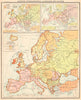


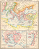


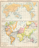

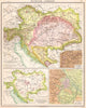

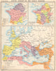

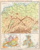

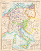

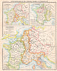

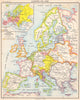
Ancient empires, medieval states and the climates, languages and religions of the world are mapped side by side in the Atlas Melin Historique et Géographique, an educational atlas published in Paris by André around 1900. Belonging to Jean-Baptiste Mélin's atlas tradition, it pairs political and physical maps with diagrams of climate, population, languages, religions and communications. Europe receives the most attention, from the ancient world through the Reformation to later divisions, and France is traced through successive periods, while other sheets cover Africa, Asia, the Americas and Oceania. Insets set cities, frontiers and military theatres beside the regional maps, and some thematic categories carry the colonial assumptions of the time.
EU orders up to €150 are sent VAT- and duty-paid — no additional taxes on arrival
Authenticity Guaranteed - We only sell original antique & vintage items
Can we help? Call us on +44-208-960-3476 • FAQs
All our products are exempt from US tariffs — no additional duties or taxes payable on arrival.


- Shop by Country
- Shop by Cartographer
- Shop Maps by Type
- Shop Prints by Subject