
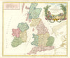

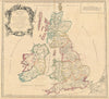

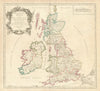

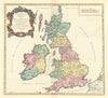


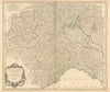

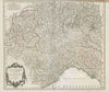

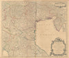


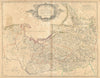

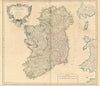


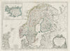

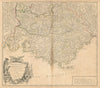

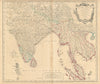

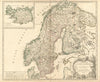


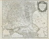

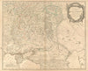


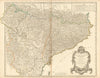


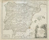


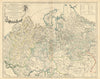


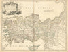

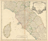


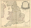

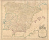
The old provinces of France, from Champagne and Lorraine to Berry and Franche-Comté, are set out in these maps from Atlas universel, an atlas for schools and formal study. Published by Chez Binet with work by Frémin A. R. and Monin V., the sheets here date between 1749 and 1947. Vaugondy's provincial maps cover Champagne, Guienne, Lorraine, Barrois, Berry, Nivernois, Bourbonnois and Franche-Comté, and his British maps show routes across England, Scotland and Ireland alongside classical maps of the British Isles. Northern Brabant and Limburg represent the Netherlands, and Prévot maps Old and New Castile.
EU orders up to €150 are sent VAT- and duty-paid — no additional taxes on arrival
Authenticity Guaranteed - We only sell original antique & vintage items
Can we help? Call us on +44-208-960-3476 • FAQs
All our products are exempt from US tariffs — no additional duties or taxes payable on arrival.


- Shop by Country
- Shop by Cartographer
- Shop Maps by Type
- Shop Prints by Subject