


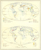


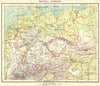

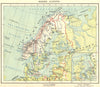

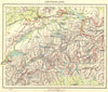


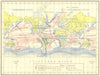


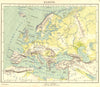

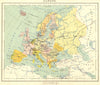


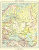

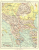


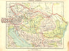


The Netherlands as Dutch schoolchildren learned it in 1922 fills these maps from Atlas voor de Volksschool, published by J. B. Wolters. The provinces are covered in detail, with separate maps of relief and soils as well as towns and boundaries, and the plates move outward to the countries of Europe, the continents, and Java, the Dutch East Indies, Suriname and the Caribbean islands of the colonial world. Thematic world maps chart currents, rainfall, products and spices, and a map of historical Palestine serves a different lesson. Dutch place names and geographical terms are used throughout, as in the original classroom.
EU orders up to €150 are sent VAT- and duty-paid — no additional taxes on arrival
Authenticity Guaranteed - We only sell original antique & vintage items
Can we help? Call us on +44-208-960-3476 • FAQs
All our products are exempt from US tariffs — no additional duties or taxes payable on arrival.


- Shop by Country
- Shop by Cartographer
- Shop Maps by Type
- Shop Prints by Subject