


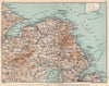


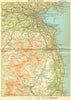

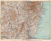


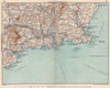

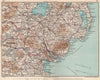

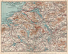

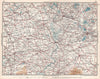


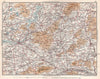


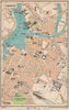

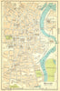


City plans of Dublin, Belfast, Cork and Limerick and touring sheets of the countryside make the maps from Blue Guide - Ireland a record of twentieth-century travel across the whole island. The Blue Guides were associated with the Muirhead family, and the Irish editions, published by Ernest Benn, span the interwar and post-war years. Regional sheets divide the country into manageable areas, with closer treatment of the Killarney lakes, MacGillycuddy's Reeks, Connemara and the Wicklow mountains, and Cork Harbour adds a maritime setting. Older county names such as Leix appear beside those familiar today, and the northern counties remain within the guide's scope.
EU orders up to €150 are sent VAT- and duty-paid — no additional taxes on arrival
Authenticity Guaranteed - We only sell original antique & vintage items
Can we help? Call us on +44-208-960-3476 • FAQs
All our products are exempt from US tariffs — no additional duties or taxes payable on arrival.


- Shop by Country
- Shop by Cartographer
- Shop Maps by Type
- Shop Prints by Subject