


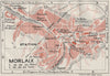

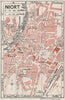


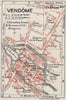


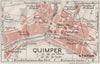


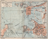

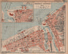

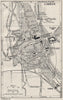

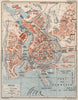

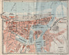

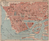

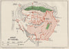

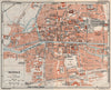
Rouen, Caen, Nantes, Tours and Chartres are planned street by street in these maps from Blue Guide - North-west France, published by Macmillan in London in 1926. The guide covered a broad sweep of western France, from Normandy and Brittany to the Loire country, Poitou and the inland districts beyond, and regional sheets link its towns by road and railway. Coastal resorts and ports appear alongside cathedral cities, château country and Mont Saint-Michel, as English-speaking travellers of the 1920s were shown them, before later road building and wartime destruction altered parts of these towns.
EU orders up to €150 are sent VAT- and duty-paid — no additional taxes on arrival
Authenticity Guaranteed - We only sell original antique & vintage items
Can we help? Call us on +44-208-960-3476 • FAQs
All our products are exempt from US tariffs — no additional duties or taxes payable on arrival.


- Shop by Country
- Shop by Cartographer
- Shop Maps by Type
- Shop Prints by Subject