




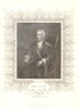

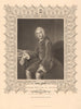

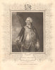


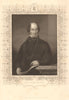


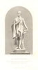

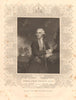


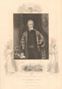


Rapkin's decorated maps with their pictorial vignettes are the glory of The British Colonies: Their History, Extent, Condition and Resources, associated with Montgomery Martin and John Tallis. They accompany Martin's mid-nineteenth-century history, covering Australia, Canada, Ceylon and New Zealand within broader world coverage, with steam routes linking the distant territories and regional and hemispheric maps using political names that were already changing. Portraits of naval commanders, governors and political figures and episodes of British history take the work beyond an atlas of overseas possessions.
EU orders up to €150 are sent VAT- and duty-paid — no additional taxes on arrival
Authenticity Guaranteed - We only sell original antique & vintage items
Can we help? Call us on +44-208-960-3476 • FAQs
All our products are exempt from US tariffs — no additional duties or taxes payable on arrival.


- Shop by Country
- Shop by Cartographer
- Shop Maps by Type
- Shop Prints by Subject