
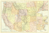

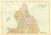

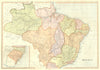

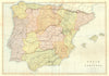

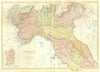

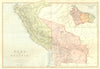

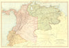

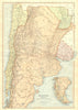

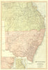

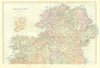

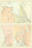

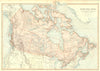

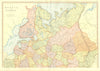


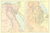








Engraved scenes of Australian forests, the Danube and New Zealand's vanished Pink Terraces accompany the maps from Descriptive Atlas of the World and General Geography, a late-Victorian reference work meant to describe places as well as locate them. Prepared under the supervision of W. G. Blackie and published by Blackie & Son, the issue here dates from 1893. The maps range from British county and transport sheets to the states of Europe, the Americas, Africa and Australasia, with insets enlarging ports and cities and scales given in versts, leagues and Italian miles according to local custom. Further illustrations show Australian mining settlements, the Rhine and Lake Tanganyika.
EU orders up to €150 are sent VAT- and duty-paid — no additional taxes on arrival
Authenticity Guaranteed - We only sell original antique & vintage items
Can we help? Call us on +44-208-960-3476 • FAQs
All our products are exempt from US tariffs — no additional duties or taxes payable on arrival.


- Shop by Country
- Shop by Cartographer
- Shop Maps by Type
- Shop Prints by Subject