




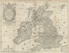


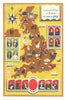


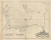


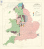



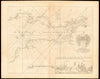

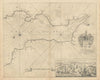

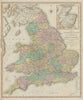

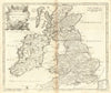

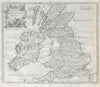

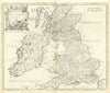



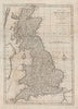

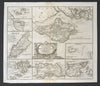

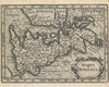


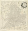

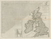

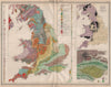



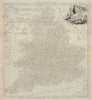


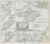
County divisions, coastal approaches and growing transport networks form the backbone of these maps of Great Britain, led by early twentieth-century Johnston atlas sheets of England and Wales, the Home Counties, East Anglia and Yorkshire. Telegraph cables and county boundaries appear alongside settlements and physical features, and regional sheets follow the north-west coast, the Humber and the Severn estuary, linking inland districts to the sea. Old county names, Westmorland among them, survive on Johnston's maps, and prints record places across the island.
EU orders up to €150 are sent VAT- and duty-paid — no additional taxes on arrival
Authenticity Guaranteed - We only sell original antique & vintage items
Can we help? Call us on +44-208-960-3476 • FAQs
All our products are exempt from US tariffs — no additional duties or taxes payable on arrival.


- Shop by Country
- Shop by Cartographer
- Shop Maps by Type
- Shop Prints by Subject