
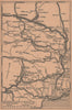


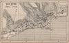


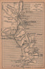

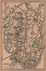

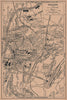


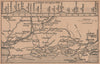

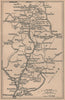

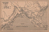

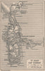

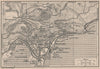


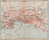


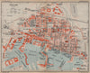

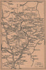

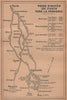
Motor roads, cycle routes and Riviera resorts distinguish these maps from Guide Bleu - La Côte d'Azur, published by Hachette in 1930 as road touring added a new way of exploring the coast. Town and excursion sheets cover the Var and Alpes-Maritimes around Toulon, Cannes, Antibes, Grasse and Nice, and the Estérel is mapped specially for motorists and cyclists. Inland routes follow the valleys and passes towards Puget-Théniers and the mountains, so a stay on the coast could be combined with trips into the hill country, and San Remo takes the itinerary across the Italian frontier.
EU orders up to €150 are sent VAT- and duty-paid — no additional taxes on arrival
Authenticity Guaranteed - We only sell original antique & vintage items
Can we help? Call us on +44-208-960-3476 • FAQs
All our products are exempt from US tariffs — no additional duties or taxes payable on arrival.


- Shop by Country
- Shop by Cartographer
- Shop Maps by Type
- Shop Prints by Subject