


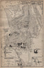


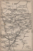

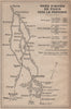


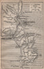

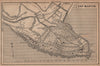


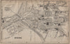

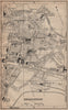

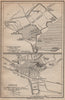

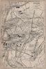

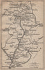


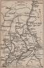

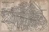





The Riviera resorts, the gorges of the Verdon and the peaks of the southern Alps are all within reach in maps from Guide Bleu - Provence, published by Hachette in 1925 under the direction of Marcel Monmarché. Town plans cover Marseille, Avignon, Aix and Arles as well as the coast, and regional sheets extend into the Maures, the Estérel and the mountains, with geological maps and mountain profiles adding the physical landscape. Routes through the Verdon, Tinée and Vésubie valleys lead from the coast to inland excursions, cycling maps offer another way of touring, and railway maps and routes from Paris tie the region into the national network.
EU orders up to €150 are sent VAT- and duty-paid — no additional taxes on arrival
Authenticity Guaranteed - We only sell original antique & vintage items
Can we help? Call us on +44-208-960-3476 • FAQs
All our products are exempt from US tariffs — no additional duties or taxes payable on arrival.


- Shop by Country
- Shop by Cartographer
- Shop Maps by Type
- Shop Prints by Subject