
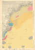

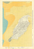

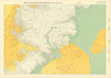

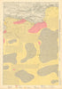

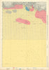

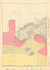

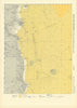

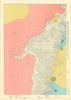

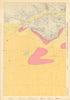



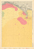

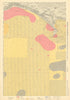

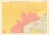

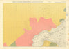


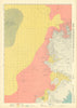




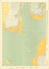

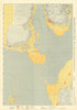



German naval charts of the English Channel, the Irish Sea and the Hebrides make these vintage maps by the Kriegsmarine a striking record of how Nazi Germany's navy saw British and Irish waters, in issues dated 1940–1943. The Kriegsmarine existed from 1935 to 1945, and its charts examine coasts, harbours, estuaries and passages around Cornwall, the Isle of Man, the Clyde and the western Scottish islands. Other sheets cover Spain, Portugal and northern Morocco, including Cádiz, Bilbao, Lisbon and Tangier.
EU orders up to €150 are sent VAT- and duty-paid — no additional taxes on arrival
Authenticity Guaranteed - We only sell original antique & vintage items
Can we help? Call us on +44-208-960-3476 • FAQs
All our products are exempt from US tariffs — no additional duties or taxes payable on arrival.


- Shop by Country
- Shop by Cartographer
- Shop Maps by Type
- Shop Prints by Subject