
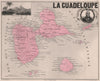

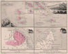

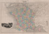


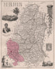

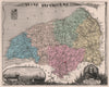

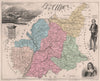

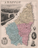

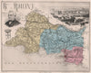

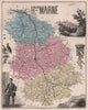

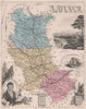

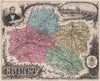

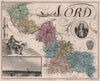

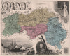

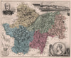

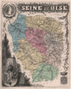

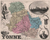

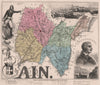

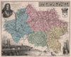

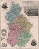

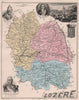

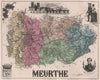

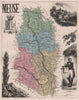

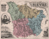

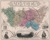

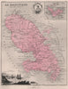

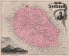

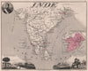

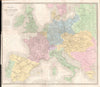

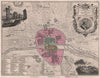

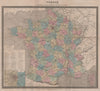

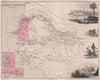

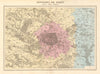

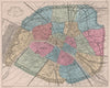

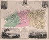

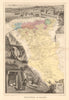
Marseille beside Thiers, the Ardèche beside the Montgolfiers and the Yonne beside Vauban and Davout: the maps from La France et ses Colonies Atlas Illustré surround each department with town views, monuments and portraits of its famous figures. The atlas was issued by J. Migeon in 1879, with mapping associated with Vuillemin and Ernest Poirée. Larger maps show the national roads, railways and telegraphs, Paris appears within its fortifications and enclosing wall and in a reconstruction of the medieval city, and the colonial plates reach Algeria, the Caribbean, Réunion, India and the Pacific.
EU orders up to €150 are sent VAT- and duty-paid — no additional taxes on arrival
Authenticity Guaranteed - We only sell original antique & vintage items
Can we help? Call us on +44-208-960-3476 • FAQs
All our products are exempt from US tariffs — no additional duties or taxes payable on arrival.


- Shop by Country
- Shop by Cartographer
- Shop Maps by Type
- Shop Prints by Subject