


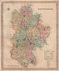

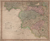


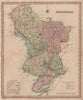


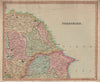

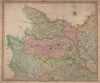

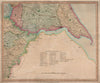


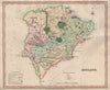


Published in London in 1831, just before the railways reshaped travel across England, the New British Atlas records the established pattern of roads, towns and county divisions. Henry Teesdale & Co. of High Holborn issued it as a coordinated county survey, so the maps share a family likeness while each keeps its own outline and internal geography. Bedfordshire, Herefordshire and Staffordshire are among the counties here, and larger counties, Yorkshire among them, were divided to give local detail more room.
EU orders up to €150 are sent VAT- and duty-paid — no additional taxes on arrival
Authenticity Guaranteed - We only sell original antique & vintage items
Can we help? Call us on +44-208-960-3476 • FAQs
All our products are exempt from US tariffs — no additional duties or taxes payable on arrival.


- Shop by Country
- Shop by Cartographer
- Shop Maps by Type
- Shop Prints by Subject