


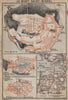


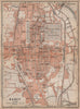

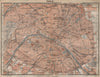


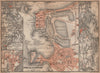

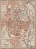

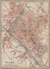

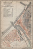


Baedeker town plans and First World War campaign maps often trace the same roads, rivers and towns of Northern France for very different readers. The travel material covers Chartres, Caen, Beauvais, Nancy and the Normandy resorts, with plans of Paris and Mont-Saint-Michel and wider sheets following the valleys of the Seine and Loire, while river and coastal maps show the approaches to ports and inland towns. The military histories map the Marne, the Aisne and the opening movements on the Western Front in retrospective diagrams, drawn to explain the fighting rather than to guide a traveller.
EU orders up to €150 are sent VAT- and duty-paid — no additional taxes on arrival
Authenticity Guaranteed - We only sell original antique & vintage items
Can we help? Call us on +44-208-960-3476 • FAQs
All our products are exempt from US tariffs — no additional duties or taxes payable on arrival.


- Shop by Country
- Shop by Cartographer
- Shop Maps by Type
- Shop Prints by Subject