


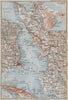

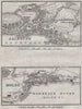


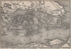


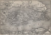


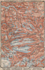

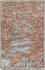

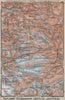


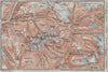

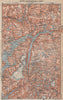

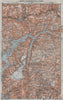

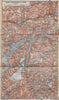


Fjord excursions and capital-city plans share the pages of Norway, Sweden, & Denmark, Baedeker's Scandinavian handbook, represented here by the seventh edition and maps dated from 1899 to 1912. Norwegian topographical sheets cover Hardanger, Sognefjord, Geiranger and the Jotunheimen mountains, Swedish plans follow Malmö, Lund, Jönköping and Stockholm's environs, including Djurgården and Skansen, and Copenhagen has central and northern-environs maps. Denmark and Schleswig appear on the railway maps, and maps of the Øresund link the Danish and Swedish shores.
EU orders up to €150 are sent VAT- and duty-paid — no additional taxes on arrival
Authenticity Guaranteed - We only sell original antique & vintage items
Can we help? Call us on +44-208-960-3476 • FAQs
All our products are exempt from US tariffs — no additional duties or taxes payable on arrival.


- Shop by Country
- Shop by Cartographer
- Shop Maps by Type
- Shop Prints by Subject