
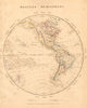

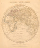


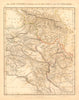


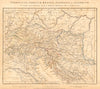


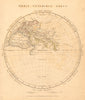


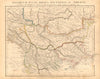


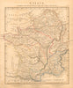


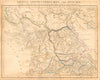


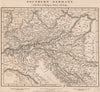


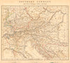


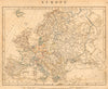

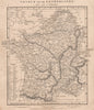

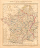


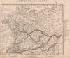
Roman Gaul faces modern France, and Hispania faces Spain, in these maps from Orbis Terrarum Veteribus Noti Descriptio, Arrowsmith's comparative atlas prepared for Eton School. Issued in London in 1828 by A. Arrowsmith and sold also by E. Williams of Eton, the atlas paired ancient and modern geography by design, as its English subtitle explains. Italy and the Balkan provinces sit beside the Italian states and central Europe, Palestine appears in both biblical tribal divisions and later regional form, and Egypt, Persia, India and the hemispheres carry the comparison beyond the Mediterranean. Copperplate engraving and outline colour mark the regions and boundaries for pupils reading the classics.
EU orders up to €150 are sent VAT- and duty-paid — no additional taxes on arrival
Authenticity Guaranteed - We only sell original antique & vintage items
Can we help? Call us on +44-208-960-3476 • FAQs
All our products are exempt from US tariffs — no additional duties or taxes payable on arrival.


- Shop by Country
- Shop by Cartographer
- Shop Maps by Type
- Shop Prints by Subject