
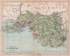

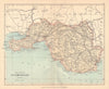


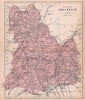


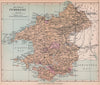


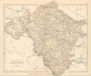

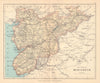


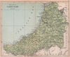

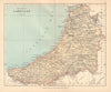

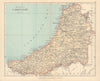

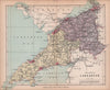

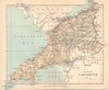

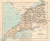

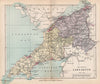


County maps, railway routes and mountain paths share the pages of Philip's Handy Atlas of the Counties of Wales, constructed by John Bartholomew and issued by George Philip & Son. These late nineteenth-century maps keep historical county names such as Merionethshire, Radnorshire and Montgomeryshire. Separate railway maps cover north and south Wales, and detailed mountain sheets follow the routes to Snowdon's summit and the country around Cadair Idris, while the industrial south of Glamorgan contrasts with the western coastal counties and the northern mountains.
EU orders up to €150 are sent VAT- and duty-paid — no additional taxes on arrival
Authenticity Guaranteed - We only sell original antique & vintage items
Can we help? Call us on +44-208-960-3476 • FAQs
All our products are exempt from US tariffs — no additional duties or taxes payable on arrival.


- Shop by Country
- Shop by Cartographer
- Shop Maps by Type
- Shop Prints by Subject