
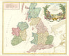

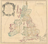

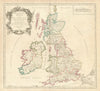

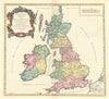





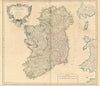

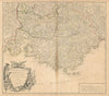

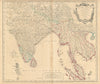

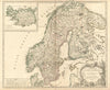

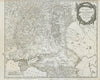

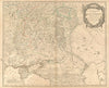

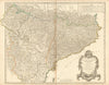

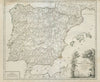

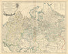


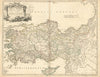

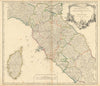

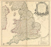

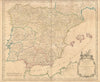


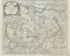

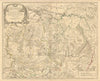

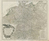

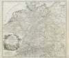

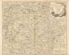

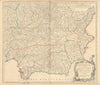

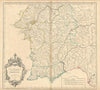

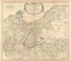


British roads, Tibet and the far reaches of Siberia all fall within these antique maps by Gilles and Didier Robert de Vaugondy, the French father-and-son cartographers of the eighteenth century. They mapped the British Isles and their principal roads, the Tyrol, Tuscany and Corsica, and the states of the crown of Aragon, with the political names and regional groupings of French atlas publishing. In Asia their maps cover India, Indochina, Tibet and the East Indies, and divided sheets span the western and eastern lands of the Russian Empire, some in later issues.
EU orders up to €150 are sent VAT- and duty-paid — no additional taxes on arrival
Authenticity Guaranteed - We only sell original antique & vintage items
Can we help? Call us on +44-208-960-3476 • FAQs
All our products are exempt from US tariffs — no additional duties or taxes payable on arrival.


- Shop by Country
- Shop by Cartographer
- Shop Maps by Type
- Shop Prints by Subject