
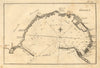

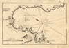

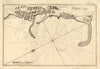

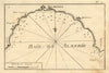

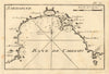

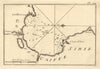

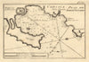

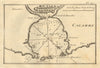

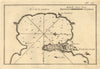

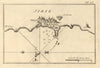

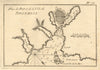

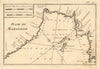

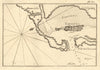

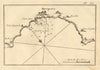

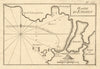

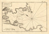

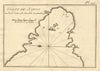


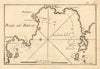

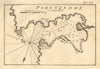

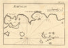

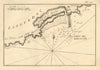

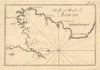

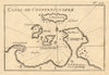

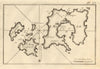

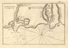


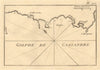

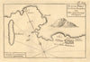

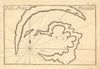


Joseph Roux's antique harbour plans chart the anchorages of the Mediterranean, from Spanish bays to Aegean islands. The Marseille hydrographer, born in 1725, published his collection of port and roadstead plans in 1764, drawing on his larger Mediterranean chart, and these sheets come from a later edition of 1804. The compact copperplate plans travel around the basin, along the French coast to Italian harbours, Corsican anchorages, the Venetian lagoon, Brindisi and Syracuse, the Adriatic ports and the North African and Levantine shores. Each concentrates on the shape of a bay, its harbour entrance, islands and neighbouring settlements, and the French and older European place names preserve the vocabulary of Mediterranean navigation.
EU orders up to €150 are sent VAT- and duty-paid — no additional taxes on arrival
Authenticity Guaranteed - We only sell original antique & vintage items
Can we help? Call us on +44-208-960-3476 • FAQs
All our products are exempt from US tariffs — no additional duties or taxes payable on arrival.


- Shop by Country
- Shop by Cartographer
- Shop Maps by Type
- Shop Prints by Subject