
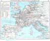




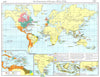

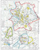

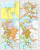

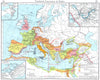

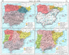

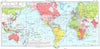

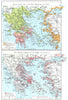

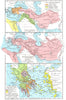

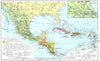

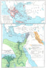
Ancient Italy, the Greek world, medieval Europe and the spread of empires in Asia are reconstructed through boundaries, campaigns and settlements in these maps from Shepherd's Historical Atlas, here from the eighth edition published by George Philip in 1956. William R. Shepherd used maps to explain sequences of conquest, government and economic development. The growth of Roman power and medieval states appears with ecclesiastical divisions and industrial centres, French maps distinguish courts, taxation and provinces, and German sheets follow territorial change and the Zollverein. Other maps cover American exploration, Indigenous peoples and European colonisation, and insets enlarge Thermopylae, Athens and Rome.
EU orders up to €150 are sent VAT- and duty-paid — no additional taxes on arrival
Authenticity Guaranteed - We only sell original antique & vintage items
Can we help? Call us on +44-208-960-3476 • FAQs
All our products are exempt from US tariffs — no additional duties or taxes payable on arrival.


- Shop by Country
- Shop by Cartographer
- Shop Maps by Type
- Shop Prints by Subject