
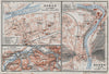

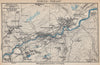


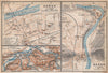

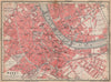

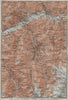

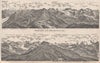

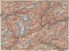

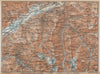

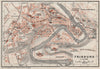





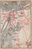


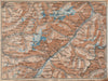

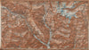

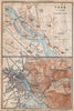


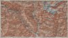

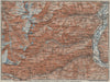


Alpine passes, lakeside resorts and the mountain skyline itself appear in these maps from Switzerland with Chamonix & the Italian Lakes, Karl Baedeker's guide to the country and its French and Italian neighbours. The sheets date from 1928 and 1938 and combine town plans, mountain topography, road maps and panoramas. Coverage runs from the Bernese Oberland and the Engadine to Ticino and the lakes around Como and Lugano, with plans of Basel, Fribourg and Thun and mountain sheets of Grindelwald, the Gotthard and the Albula Alps. A panorama from the Stanserhorn shows the peaks as a traveller would see them.
EU orders up to €150 are sent VAT- and duty-paid — no additional taxes on arrival
Authenticity Guaranteed - We only sell original antique & vintage items
Can we help? Call us on +44-208-960-3476 • FAQs
All our products are exempt from US tariffs — no additional duties or taxes payable on arrival.


- Shop by Country
- Shop by Cartographer
- Shop Maps by Type
- Shop Prints by Subject