


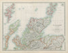


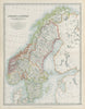

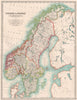


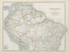

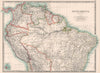
Railways, submarine cables and the territories of empire fill maps from The Handy Royal Atlas of Modern Geography, a reference atlas of the years either side of 1900. It was published by W. and A. K. Johnston and is associated with the cartography of Alexander Keith Johnston, and the editions here date from the last years of the nineteenth century into the early twentieth. British sheets mark railways, canals and lightships, European maps follow the German Empire, the Balkans and their shifting borders, and Canadian provinces, Australian colonies and Pacific possessions show the imperial reach. Asian sheets cover British India, China, Japan and Korea, with different editions recording the political changes around the turn of the century.
EU orders up to €150 are sent VAT- and duty-paid — no additional taxes on arrival
Authenticity Guaranteed - We only sell original antique & vintage items
Can we help? Call us on +44-208-960-3476 • FAQs
All our products are exempt from US tariffs — no additional duties or taxes payable on arrival.


- Shop by Country
- Shop by Cartographer
- Shop Maps by Type
- Shop Prints by Subject