
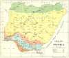

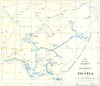


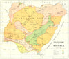

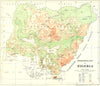

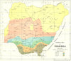

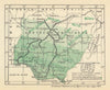

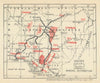

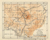




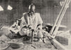





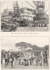


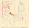


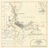

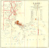

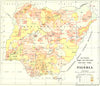

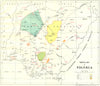

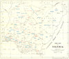


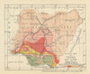

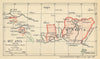
Railways, rivers, forests and minerals map out interwar Nigeria in the maps from The Nigeria Handbook, published by West Africa Ltd in editions of the 1920s and 1930s and written from a colonial administrative viewpoint. Thematic surveys of rainfall, relief, crops and minerals accompany the administrative geography, Lagos has both city and regional plans, and the Niger and its tributaries link the territory with wider West African routes. Photographs show Apapa's wharves, shipping and markets, canoes on Badagri Creek, railway engineering and brass working, as well as portraits and ceremonies of the rulers of Sokoto, Bornu and Ife and military subjects.
EU orders up to €150 are sent VAT- and duty-paid — no additional taxes on arrival
Authenticity Guaranteed - We only sell original antique & vintage items
Can we help? Call us on +44-208-960-3476 • FAQs
All our products are exempt from US tariffs — no additional duties or taxes payable on arrival.


- Shop by Country
- Shop by Cartographer
- Shop Maps by Type
- Shop Prints by Subject