
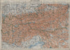


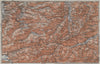

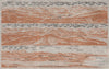


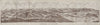


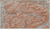


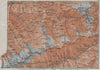

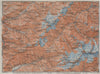



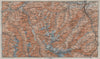

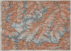


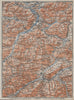


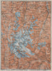

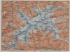

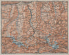


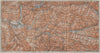

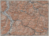

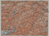


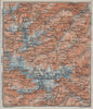

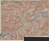


The Grossglockner, the Dolomites and summit panoramas from the Schlern and the Schmittenhöhe make these maps from Baedeker's Tirol, Vorarlberg und Teile von Salzburg und Kärnten a fine record of the eastern Alps. Karl Baedeker published the guide in 1923, and its maps cover the Inn valley, the Stubai and Ötztal, the Zillertal and the high ranges around the Grossglockner and Grossvenediger. South Tyrolean sheets reach Meran and Brixen, with Italian and German place names used across the region, and panoramas from the Pfänder and the Gaisberg identify the mountains seen from each viewpoint. Town plans and environs maps link the resorts with their valleys, passes and peaks.
EU orders up to €150 are sent VAT- and duty-paid — no additional taxes on arrival
Authenticity Guaranteed - We only sell original antique & vintage items
Can we help? Call us on +44-208-960-3476 • FAQs
All our products are exempt from US tariffs — no additional duties or taxes payable on arrival.


- Shop by Country
- Shop by Cartographer
- Shop Maps by Type
- Shop Prints by Subject