
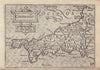


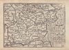


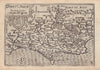

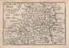

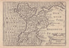

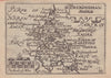

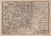


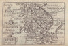


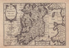
Small engraved counties make Pieter van den Keere's maps instantly recognisable, with coastlines, rivers and towns compressed into a pocket format. Van den Keere (1571–about 1646), also known by his Latin name Petrus Kaerius, was an engraver and publisher, and his maps cover England, Wales, Scotland and Ireland, from Cornwall, Middlesex and Oxfordshire to grouped Welsh counties, Leinster and the Hebrides. The plates were made before they became associated with abridged editions of John Speed's work, so the familiar name miniature Speed should not hide the engraver's own contribution. Seventeenth-century impressions keep spellings such as Cornwaile and Midle-sex.
EU orders up to €150 are sent VAT- and duty-paid — no additional taxes on arrival
Authenticity Guaranteed - We only sell original antique & vintage items
Can we help? Call us on +44-208-960-3476 • FAQs
All our products are exempt from US tariffs — no additional duties or taxes payable on arrival.


- Shop by Country
- Shop by Cartographer
- Shop Maps by Type
- Shop Prints by Subject