
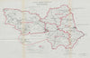


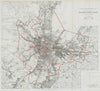

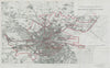


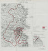

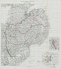

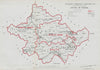

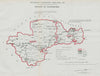
Ireland's parliamentary constituencies of 1917 are mapped in these sheets by George Frederick Ashwood Whitlock, whose credit as Assistant Director of the Ordnance Survey appears on them. The lithographic maps use outline colour to set the boundaries against the underlying map, covering counties and boroughs including Galway, Kilkenny, Dublin, Down, Tyrone and Waterford, with the divisions of Belfast. A plan of Glasgow adds a Scottish borough from the same boundary work, carried out during a major period of electoral change.
EU orders up to €150 are sent VAT- and duty-paid — no additional taxes on arrival
Authenticity Guaranteed - We only sell original antique & vintage items
Can we help? Call us on +44-208-960-3476 • FAQs
All our products are exempt from US tariffs — no additional duties or taxes payable on arrival.


- Shop by Country
- Shop by Cartographer
- Shop Maps by Type
- Shop Prints by Subject