
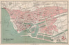

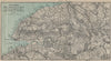

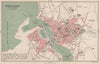

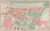

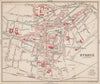

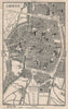

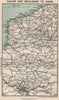

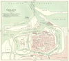

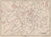

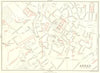

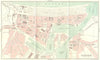

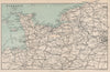

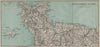

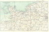

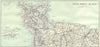


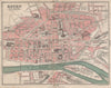


Northern France as visitors found it in 1913, on the eve of the First World War, is laid out in these maps from Black's Normandy, Picardy, Artois &c, the ninth edition of Charles Bertram Black's guide, published in London by Adam and Charles Black. Its maps follow journeys from Calais and Boulogne towards Paris and west through Rouen, Le Havre, Caen and Cherbourg, with town plans of their streets and harbours and regional sheets linking them by rail. Trouville and Deauville stand for the resort coast, the Seine valley is followed from Rouen to the sea, and Paris and its fortifications bring in the Île-de-France.
EU orders up to €150 are sent VAT- and duty-paid — no additional taxes on arrival
Authenticity Guaranteed - We only sell original antique & vintage items
Can we help? Call us on +44-208-960-3476 • FAQs
All our products are exempt from US tariffs — no additional duties or taxes payable on arrival.


- Shop by Country
- Shop by Cartographer
- Shop Maps by Type
- Shop Prints by Subject