
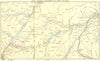

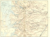

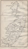

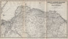

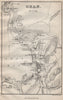

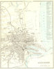

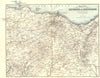



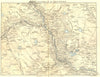

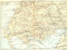

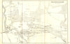

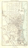

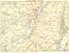

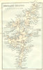


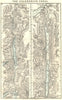


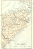




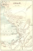


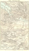


Railway journeys and Highland excursions come together in Black's Picturesque Tourist of Scotland, the late Victorian guide published by Adam and Charles Black in Edinburgh. The maps here date from 1886–1887 and pair town plans of Aberdeen, Greenock and Oban with regional maps of the Borders, the Trossachs, Loch Awe and the northern mainland. Railway corridors from Edinburgh towards Berwick and from Dingwall towards Skye show how tourists reached the scenery, and the Caledonian Canal, Iona, Staffa and Shetland carry the journey onto the water and out to the islands. Prints of Dunkeld, the falls of Bruar, Foyers and Loch Scavaig supply the picturesque destinations, and an interior at Fort Augustus records one of the stopping places.
EU orders up to €150 are sent VAT- and duty-paid — no additional taxes on arrival
Authenticity Guaranteed - We only sell original antique & vintage items
Can we help? Call us on +44-208-960-3476 • FAQs
All our products are exempt from US tariffs — no additional duties or taxes payable on arrival.


- Shop by Country
- Shop by Cartographer
- Shop Maps by Type
- Shop Prints by Subject