


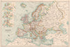


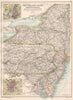


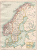


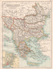


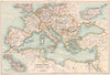


Country sheets, city plans and climate diagrams are combined in The English Imperial Atlas and Gazetteer of the World, published by T. Nelson and Sons in 1891 and associated with J. G. Bartholomew. Canadian provinces and Australian colonies are mapped in detail, and American regional maps enlarge New York, Philadelphia and Chicago. European sheets add earlier political arrangements, historical insets and temperature diagrams, while the British Isles appear through counties, principal cities and enlargements of London and the Scottish central belt. A commercial world map gives the British Empire its place in the atlas's outlook.
EU orders up to €150 are sent VAT- and duty-paid — no additional taxes on arrival
Authenticity Guaranteed - We only sell original antique & vintage items
Can we help? Call us on +44-208-960-3476 • FAQs
All our products are exempt from US tariffs — no additional duties or taxes payable on arrival.


- Shop by Country
- Shop by Cartographer
- Shop Maps by Type
- Shop Prints by Subject