


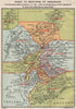


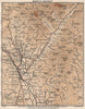

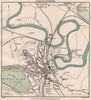

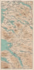

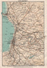

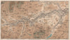

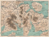

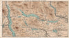

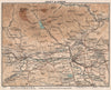

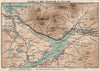

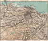

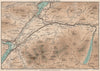

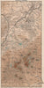

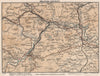

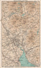

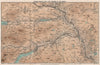

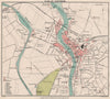

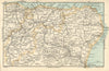

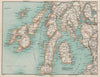

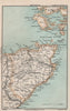

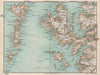

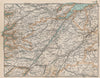

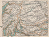

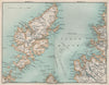

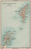

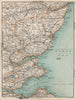

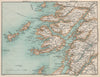
The Trossachs, Upper Loch Lomond and the Highland routes beyond are mapped here for Edwardian visitors to Scotland's lochs and valleys. The maps come from the eighth edition of Murray's Handbook for Travellers in Scotland, edited by Scott Moncrieff Penney and published by John Murray in 1905, with mapping associated with Stanford. Sheets link Callander with the Trossachs and cover the Dumfries district, the Nith estuary and the country around Nairn, while broader Highland maps join counties and the routes a traveller might cross on a longer journey.
EU orders up to €150 are sent VAT- and duty-paid — no additional taxes on arrival
Authenticity Guaranteed - We only sell original antique & vintage items
Can we help? Call us on +44-208-960-3476 • FAQs
All our products are exempt from US tariffs — no additional duties or taxes payable on arrival.


- Shop by Country
- Shop by Cartographer
- Shop Maps by Type
- Shop Prints by Subject