


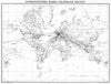


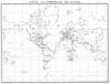


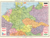

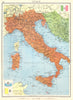


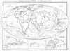

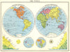


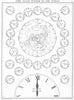


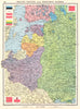

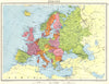


Europe on the eve of the Second World War and a world still largely imperial fill the Newnes Modern World Atlas, published by George Newnes in London in 1938 with cartography credited to John Bartholomew. Regional sheets show Germany and central Europe, Italy and the Adriatic, the Middle East and the East Indian archipelago, with Transjordan, the Dutch East Indies and other names of the period, and Canada and Newfoundland mapped separately. Railway information runs across the political outlines, and world maps show the hemispheres, mountain heights and time systems.
EU orders up to €150 are sent VAT- and duty-paid — no additional taxes on arrival
Authenticity Guaranteed - We only sell original antique & vintage items
Can we help? Call us on +44-208-960-3476 • FAQs
All our products are exempt from US tariffs — no additional duties or taxes payable on arrival.


- Shop by Country
- Shop by Cartographer
- Shop Maps by Type
- Shop Prints by Subject