
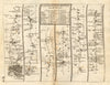

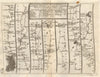


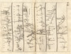


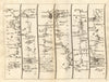


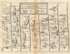


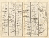


Travelling an early eighteenth-century highway, stage by stage, is the experience offered by the maps of John Senex, the English surveyor, engraver and geographical publisher who lived about 1678–1740. His compact road atlas of 1719 took its routes from John Ogilby's surveys, and its strip maps lead through sequences of settlements, from the London approaches to cross-country roads in Wales, northern England and the West Country, giving turning points and successive stages unusual prominence. A northern celestial chart shows another side of his publishing, its constellation imagery far removed from the practical road strips.
EU orders up to €150 are sent VAT- and duty-paid — no additional taxes on arrival
Authenticity Guaranteed - We only sell original antique & vintage items
Can we help? Call us on +44-208-960-3476 • FAQs
All our products are exempt from US tariffs — no additional duties or taxes payable on arrival.


- Shop by Country
- Shop by Cartographer
- Shop Maps by Type
- Shop Prints by Subject