
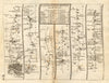

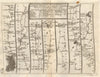


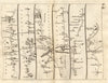


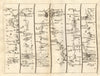


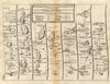


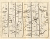


Each road unrolls as a journey from town to town in Survey of the Principal Roads of England & Wales, John Senex's 1719 publication, which adapted John Ogilby's road surveys into a more compact engraved format. The strip maps follow each route through its named towns and villages, handling changes of direction within the strip so that the traveller's progress, rather than the surrounding county, decides the page. They include London roads to Colchester, Harwich and the Midlands, cross-country journeys through Gloucestershire, Yorkshire, Cornwall and Wales, and Welsh routes towards Holyhead and St Davids.
EU orders up to €150 are sent VAT- and duty-paid — no additional taxes on arrival
Authenticity Guaranteed - We only sell original antique & vintage items
Can we help? Call us on +44-208-960-3476 • FAQs
All our products are exempt from US tariffs — no additional duties or taxes payable on arrival.


- Shop by Country
- Shop by Cartographer
- Shop Maps by Type
- Shop Prints by Subject