


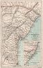


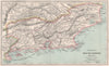

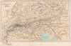

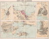


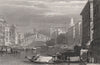


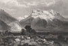


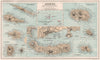


Port plans of Singapore and Milford Haven, Petermann's Iceland and views of Agra, Pisa and Sintra show the reach of The Gazetteer of the World, published by Thomas C. Jack in 1886, which combined reference maps with views of towns and landmarks. Bartholomew contributed sheets of the Australian colonies, Atlantic islands and Asian settlements, Petermann also treated the Andean tablelands, and river and coastal sheets follow the Nile and the shores of Brazil. Plans of colonial possessions and regional relief maps accompany landscape views moving from Corfu and Rhodes to Tyre.
EU orders up to €150 are sent VAT- and duty-paid — no additional taxes on arrival
Authenticity Guaranteed - We only sell original antique & vintage items
Can we help? Call us on +44-208-960-3476 • FAQs
All our products are exempt from US tariffs — no additional duties or taxes payable on arrival.


- Shop by Country
- Shop by Cartographer
- Shop Maps by Type
- Shop Prints by Subject