
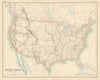

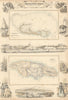

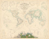


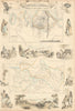


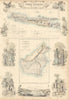


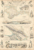

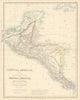

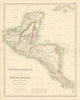

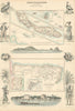

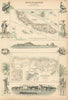

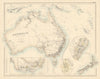

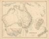


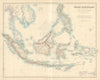

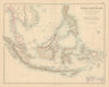


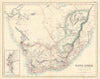

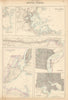





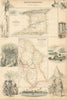

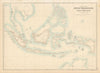

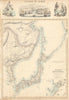


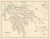


Dacotah and Confederate Arizona, Dutch possessions in the East Indies and the ports of America appear in these antique maps from The Royal Illustrated Atlas of Modern Geography, published by A. Fullarton and Company in London and Edinburgh in 1863 with an introductory notice by Dr N. Shaw. Its sheets range across the Americas, Africa, Asia and the Pacific, setting colonies, island groups and harbour plans beside continental and national maps, with British territories in the Caribbean among them. Physical maps of mountain systems and river basins accompany the political geography of mid-Victorian publishing.
EU orders up to €150 are sent VAT- and duty-paid — no additional taxes on arrival
Authenticity Guaranteed - We only sell original antique & vintage items
Can we help? Call us on +44-208-960-3476 • FAQs
All our products are exempt from US tariffs — no additional duties or taxes payable on arrival.


- Shop by Country
- Shop by Cartographer
- Shop Maps by Type
- Shop Prints by Subject